A report released this Monday (20) by the Australian consulting firm XDI, specialized in assessing climate risks for investors and financial analysts, points out that economic zones crucial to the global economy in China, the United States, India, Indonesia and Brazil are highly vulnerable to natural catastrophes caused by global warming in the coming years.
According to the unpublished study, the German state of Lower Saxony is the most exposed territory in Europe, (56th in the world). In France, it is the Hauts-de-France region (121st).
The work analyzed more than 2,600 territories around the world to classify the vulnerability of these places until 2050.
The study calculates the “Average Damage” of a given property, which encompasses the average annual damage from damage caused by extreme weather and the costs that would be needed to cover these expenses. Thus, it is possible to compare climate risks in different countries where property values and the cost to repair them can vary greatly, explains XDI.
The Domestic Climate Risk ranks states, provinces and territories across the world according to the likelihood of facing the main consequences of global warming.
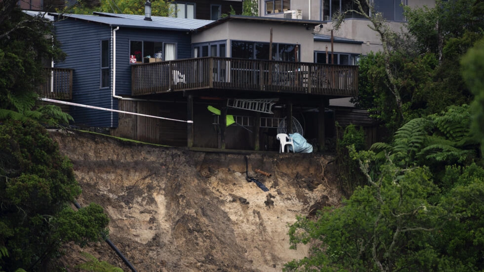
XDI’s methodology focuses on the risk posed by the main consequences of global warming: river and coastal flooding, extreme heat, wildfires, landslides (drought-related), extreme winds, and freezing and thawing.
The calculations are based on a pessimistic scenario of UN climate experts, the IPCC – Intergovernmental Panel on Climate Change, of global warming greater than 3°C compared to the pre-industrial era, by the end of the century, if there is an increase of carbon emissions. These levels are generally used as the basis for risk assessments by banks, according to XDI.
“We could have, at best, a risk premium in these territories and, at worst, a flight of capital from investors looking for safe havens”, explains Karl Mallon, Director of Science and Climate Risk at XDI.
China, United States and India
Only China, the United States and India concentrate 80% of the 50 territories most at risk, according to the ranking revealed by XDI. Of the top 10, nine are Chinese, including the provinces of Jiangsu, Shandong and Hebei, in the east of the country.
When consulting the world map published by XDI, it is possible to clearly see the countries colored in shades of red according to their risk signals. And China concentrates several regions with this color. In the case of Brazil, the states with the most risk are all located on the coast of the country, with emphasis on São Paulo, Rio de Janeiro and Minas Gerais.
In addition to Brazil, regions of India and Indonesia are also particularly threatened.
Some American states with significant economic importance also appear prominently in the ranking: Florida (10th), California (19th), Texas (20th).
The authors emphasize that this inventory should encourage countries to emit less CO2 to limit global warming and the disasters that accompany it. However, they point out that this will also have financial consequences – for example, in the price of some bonds – and in the behavior of economic agents.
This carnival, a strong storm followed by landslides killed at least 36 people on the north coast of São Paulo. The issue made headlines in France, drawing attention to the impact of climate change on the country.
Source: https://www.diariodocentrodomundo.com.br/mapa-mundial-de-riscos-climaticos-inclui-brasil-estados-da-costa-sao-mais-vulneraveis/